The drive from Stettler to Red Deer is one of the most common short hops in central Alberta. Whether you’re heading in for work, college, shopping, or a weekend trip, here’s exactly what to expect.
Driving distance: About 80–82 km (50–51 miles) Typical driving time: 55–70 minutes in normal conditions (most sources land around 58 minutes)
Exact Distance and Driving Time
Straight-line distance is roughly 75 km. The driving route comes in at about 80–82 km depending on your exact start and end points in each community.
In clear weather with light traffic, most people complete the trip in under an hour. Add a few minutes if you’re dealing with farm equipment, construction, or winter conditions. Always check 511 Alberta before you leave — conditions can change quickly on this stretch.
If you’re looking at other short central Alberta drives, we also cover how far Lacombe is from Red Deer.
Best Route from Stettler to Red Deer

The standard and fastest route is straightforward:
- Leave Stettler heading west on Highway 12.
- Pass through Erskine and Nevis.
- At the junction near Nevis, continue onto Highway 11 (the David Thompson Highway).
- Follow Highway 11 west into Red Deer.
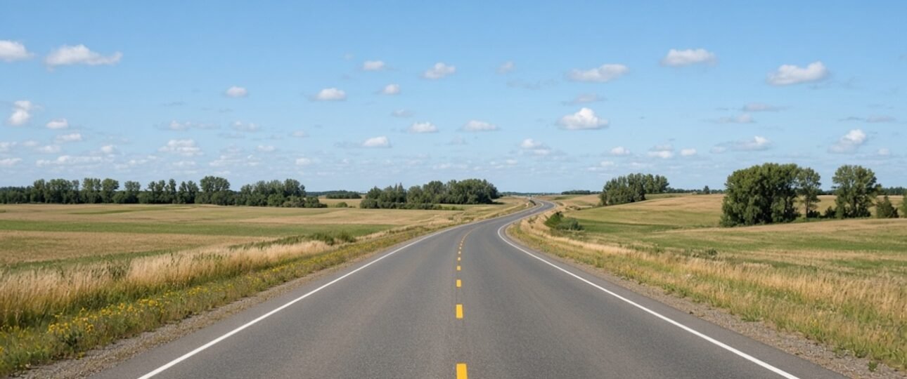
The highway is mostly two-lane with some passing opportunities. Parts of Highway 11 can feel a bit windy and rolling, especially east of Red Deer. There are no major cities or heavy traffic lights once you’re out of town, which keeps the drive relatively smooth.
How Much Does the Drive Cost?
Using current Alberta gas prices (around $1.59–$1.71 per litre in the Red Deer area as of mid-August 2026), a typical vehicle getting 8–10 L/100 km will use roughly 6.5–8 litres one way.
Expect to spend about $11–$15 in fuel for a one-way trip, or $22–$30 round trip, depending on your vehicle and exact pump price. Prices fluctuate, so check GasBuddy or local stations before you go.
Winter Driving Conditions & Safety Tips

This is where the drive changes character. Highway 11 east of Red Deer runs through open prairie country. In winter, blowing snow and reduced visibility are common, especially during or after a storm.
Local drivers often describe the stretch as “not a super easy commute” when the weather turns. The road can be single-lane in places with limited shoulders, and it gets windy.
Practical tips:
- Always check 511 Alberta before leaving.
- Use winter tires — this is non-negotiable for safety.
- Give yourself extra time. A normal 55-minute run can easily stretch to 90 minutes or more in poor conditions.
- Keep an emergency kit, full tank, and phone charged.
- If visibility drops sharply, pull over safely rather than pushing through.
Many people who live in Stettler and work or study in Red Deer still make the trip regularly, but they plan around the weather.
Is There a Bus or Public Transit Option?
No reliable direct bus service currently runs between Stettler and Red Deer. Rome2Rio and other planners only show driving or taxi options. If you don’t have a vehicle, your realistic choices are limited to arranging a ride, taxi (expensive for this distance), or ridesharing with someone heading the same way.
Stops and Things to See Along the Way
This is a short drive, so most people go straight through. If you want a quick break:
- Nevis or Erskine areas for a stretch or quick stop.
- Keep an eye out for the transition from farm country into the Red Deer River valley as you get closer to the city.
If you have more time, Stettler itself is worth exploring (Alberta Prairie Railway, Town & Country Museum, Buffalo Lake nearby). For other central Alberta day-trip ideas, check out our guides to things to do in Drumheller and Camrose tourist attractions.
Commuting from Stettler to Red Deer — Is It Realistic?
Yes, people do it. Some work in Red Deer or attend Red Deer Polytechnic and prefer the quieter, more affordable lifestyle in Stettler (population roughly 5,700–6,000). Housing is noticeably cheaper, and the town punches above its weight with amenities like a Walmart and Canadian Tire.
The trade-off is the daily drive and winter reliability. It’s doable if you’re prepared for the weather and don’t mind 1–1.5 hours on the road each way on bad days. Many locals treat it as a normal central Alberta commute.
If you’re weighing the cost of living side of the equation, our full cost of living in Red Deer Alberta 2026 breakdown is worth a look. For broader context on relocating, see the Moving to Alberta 2026 ultimate newcomer guide.
FAQ
How long does it take to drive from Stettler to Red Deer?
Usually 55–70 minutes. Plan for closer to an hour in average conditions.
What is the distance from Stettler to Red Deer?
Approximately 80–82 km by road (about 50–51 miles).
Is there a better alternate route?
The Highway 12 to Highway 11 route is the standard and most direct. Other options add significant time.
Can I take public transit?
No direct bus service exists at this time.
The Stettler-to-Red Deer drive is short, practical, and very doable for most of the year. Treat winter with respect, keep an eye on 511, and you’ll find it’s one of the easier regional connections in central Alberta.
Looking for more local drive guides or lifestyle content? Check out our other central Alberta routes like the Athabasca to Cold Lake drive, or explore whether Airdrie is a good place to live if you’re comparing small-city and town options near larger centres.